Busy Hurricane Season Still Forecast
by Justin Ballard, Houston Chronicle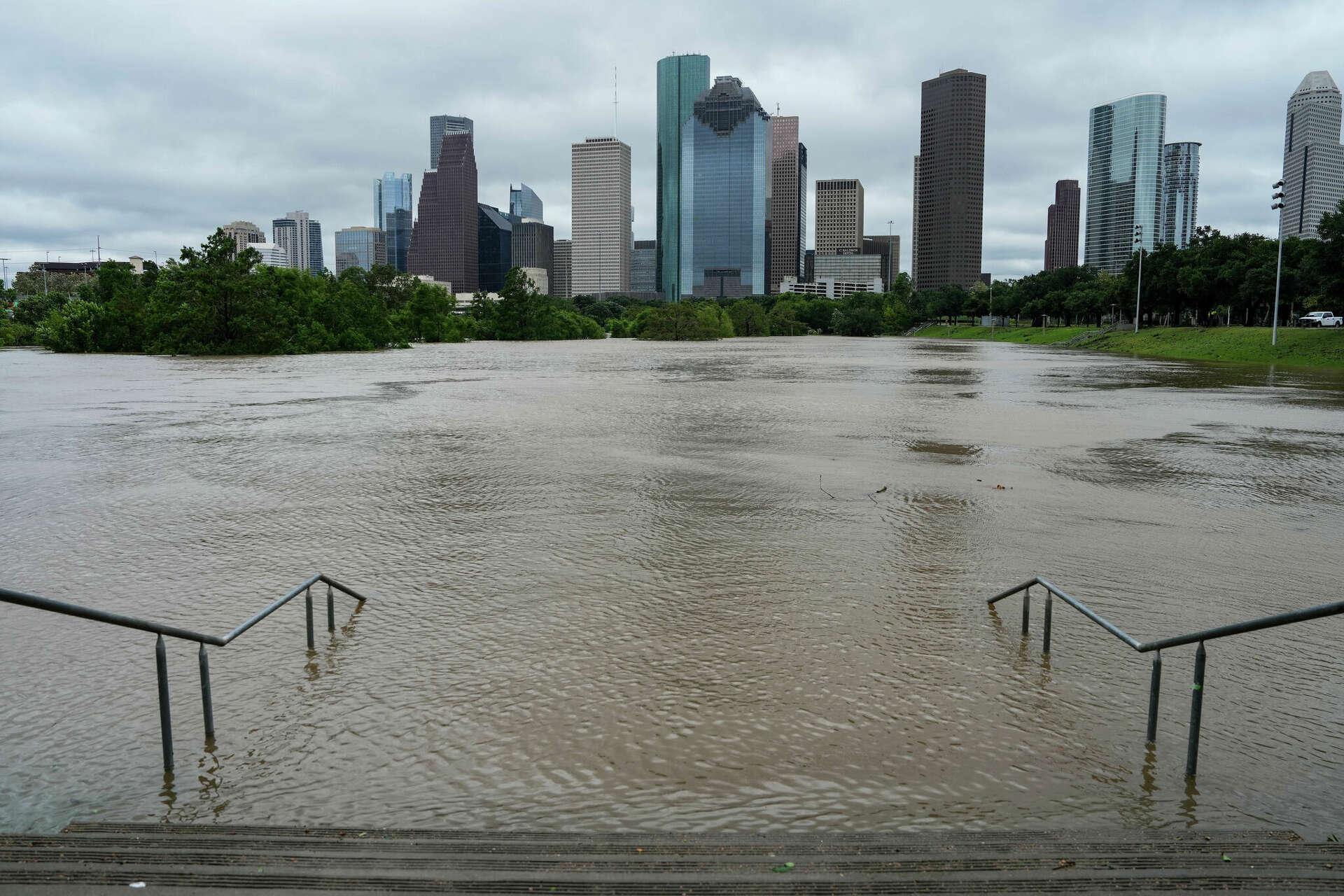
Storms a ‘Wake-up call’ for Texas Grid
by Eric Dexheimer, Houston Chronicle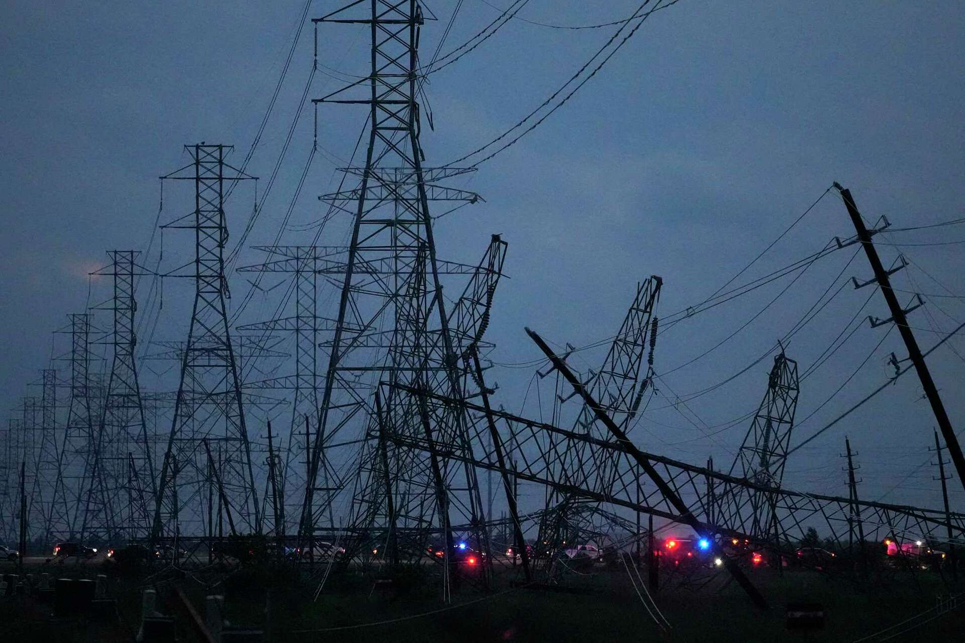

This website is provided as a service to the general public by the members of the Cypress Creek Flood Control Coalition. It is intended to be used as a source of information to assist neighborhood communities located in the Cypress Creek Watershed and elsewhere develop awareness, analyze risks and plan methods for dealing with storm water flooding and preservation of forested floodplain corridors. No information should be considered as being completely accurate nor warranted for any purpose. The Cypress Creek Flood Control Coalition is a participating Project Impact partner pledged to support developing a more disaster –resistant community in Harris County and surrounding area.
HELPFUL LINKS


Make a Donation to CCFCC
Copyright 2022 – Cypress Creek Flood Control Coalition